We like to take a little “tiki tour” while we are away in the caravan, and this holiday is no exception. We checked out the map to see if there was any uncharted territory and roads not yet travelled, and sure enough, there was. We had never been to Flat Point on the Wairarapa Coast before, so we organised a day out with our fellow camping friends. With a picnic lunch packed, plus our folding chairs, we were all set for the day’s adventure.
Leaving Carterton, we drove through Gladstone down towards the coast. The sealed road ran out part way into our trip and we drove slowly and along the rutted and windy shingle road, creating a cloud of dust which hovered in the air behind us. The Wharau and Lowlands radiata pine forests covered much of the area, and whole hillsides had been clear felled. Pine seedlings had been planted to start the growing cycle again.
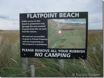
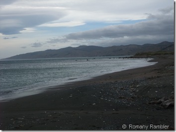
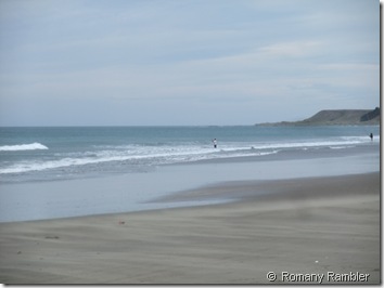
Flat Point Beach seems a strange choice of name as is a beach truly flat? It is really only when one views Flat Point from the sea approaching from the south as Captain Cook did on February 11th 1770 that it is clearly apparent why he named it that. The low 500 metre extension of flat land that reaches from the coastal hills to end in a blunt sandy beach and low dunes is protected from erosion by the large close offshore mass of partly submerged rock that forms Flat Point reef. At low tide the expansive exposed reef area adds to the Flat Point appearance. It certainly wasn’t summery beach weather as we were buffeted by the strong winds as we stood on the sand and looked out to sea, watching a lone fishing boat slowly going about its business.
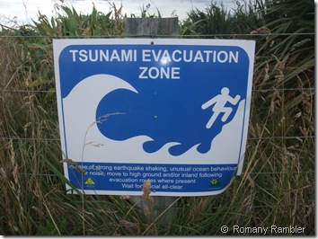
Tsunami Evacuation signs are now found in many beach communities. After the unimaginable loss of life and damage caused by the Indian Ocean tsunami in December 2004, the Tsunami Working Group was set up to calculate the risk to New Zealand from large earthquakes and subsequent tsunamis. The aims of this working group were to identify the components of a comprehensive end-to-end tsunami warning system, planning for response and advising the public of the risks and what to do. Signage showing tsunami evacuation zones and maps have been developed and distributed.
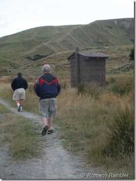
“Needs must” and luckily we remembered passing some public conveniences not too far away. This “long-drop” facility was made out of brush wood, and Robin had trouble working out where the wall ended and the door began, he said.
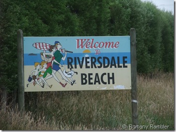
Flat Point beach was much too cold and windy for our picnic lunch, so we continued along the road for another 50km to visit Riversdale Beach.
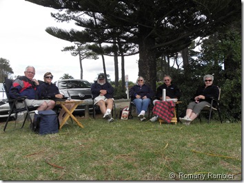
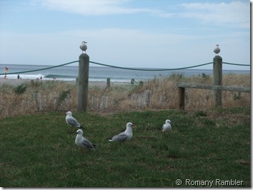
We were well rugged up in our jackets, so it certainly wasn’t a typical warm summer’s day, but the wind was no where near as fierce as our previous location. Out came our lunches and…….what’s this? I had carefully packed the thermos but forgot to fill it first with boiling water! That certainly raised a laugh from our companions. The gulls settled down and watched us with their beady eyes, ready to pounce on any scraps thrown in their direction.
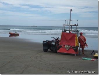
A few hardy souls were swimming, carefully watched over by the life guards on duty. This is a very pretty sandy beach, and would be a pleasant excursion on a lovely sunny day. (Robin was a life guard when he was a young fit teenager living in New Plymouth a life time ago).
Then it was back in the car again to complete the circular route back to camp, via Masterton. The fresh air coupled with the long car journey (180km round trip) made it very difficult for a couple of us to keep our eyes open on the return trip. Luckily our driver had no such problem.
No comments:
Post a Comment